SI E28
Hiking
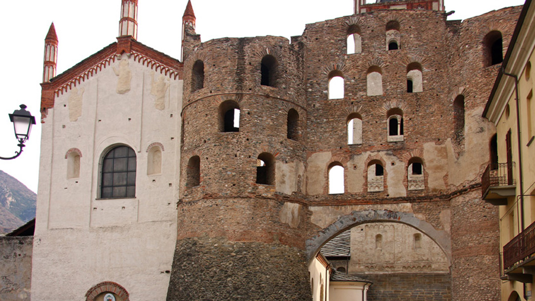
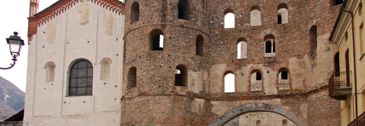
A long stage but with reduced elevation, mainly downhill, for the transfer between the High and Low Susa Valley. From the Arlaud refuge, you descend to the village of Salbertrand in the valley bottom along a forested path. From there, turn north, first climbing along the side of the valley until reaching the village of Moncellier, then heading east on a flat route to the village of Eclause. After this, you descend to the hamlet of Combe and then with some ups and downs, you reach San Colombano, enjoying beautiful views along the way. The path then descends further to the fraction of Cels: from here, you follow a long stretch of asphalt on a little-trafficked secondary road until reaching Maison Baccon. Then you return to the trail towards Ramats. Next, you continue for a long stretch through a chestnut forest, cross the Clarea stream, and reach the municipality of Giaglione, which is made up of several fractions that you gradually pass through until reaching the junction with State Road 24 near Predonio houses. This is where the section ends: you are in the municipality of Susa, not far from the center. Susa is the capital of the entire valley and is an important place rich in history dating back to Roman times: it was known then as Segusium and is worth a visit for its monuments. On the same side of the path, but at lower elevations, there are numerous vineyards producing wine.