SI Z12
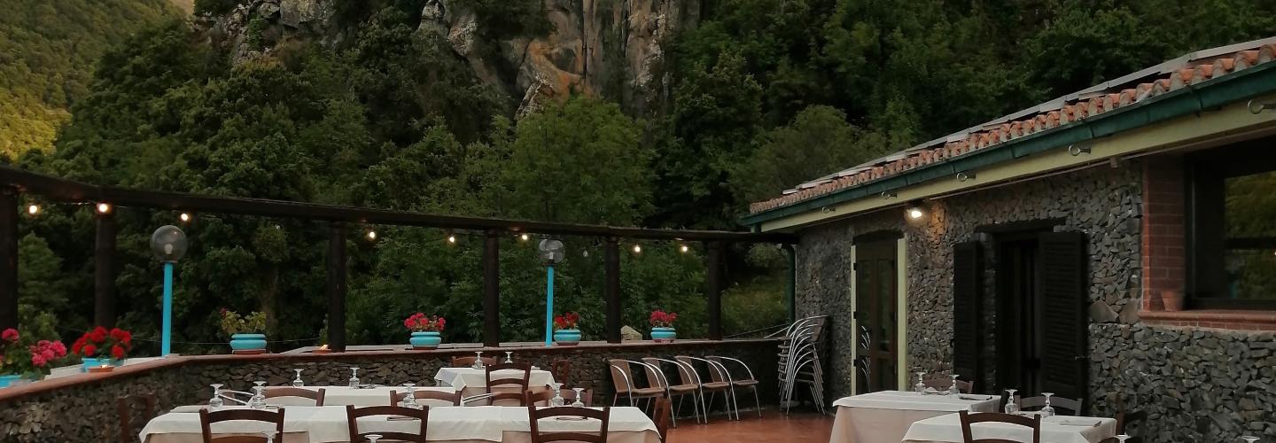
Hiking
This stage features an initial section that connects the town of Orosei with the marina, following the recently restored right bank of the Cedrino River. It is followed by a second flat section heading south, which crosses the entire sandy area, between the shore and the lagoon, leading to the small beach of Osala, the administrative boundary of Orosei. From here, you reach the next beach of Cartoe, circling around the promontory of Punta Nera almost on the rocks, at some points skirting the water, which can sometimes affect the passage. An alternative route involves bypassing the promontory with an intuitive path, though much of it runs through private property. From the southern edge of Cartoe beach begins the third and most challenging part of the trek, requiring the ascent of two peaks marked on the maps as Monte Irveri (616 m) and Monte Bardia (880 m), separated by a pass with a paved road leading to the center of Cala Gonone. From Monte Bardia, which overlooks the town of Dorgali, you quickly descend along the ridge to the saddle of Buca Entu and from there, via a scenic ancient mule track (Scala Omines), you reach a paved path that leads into the town of Dorgali. Note that there are no water sources available for hydration, but this is compensated by stunning and continuous views of the Gulf of Orosei and the chance to appreciate some ancient pastoral settlements recently restored.