SI G12
Hiking
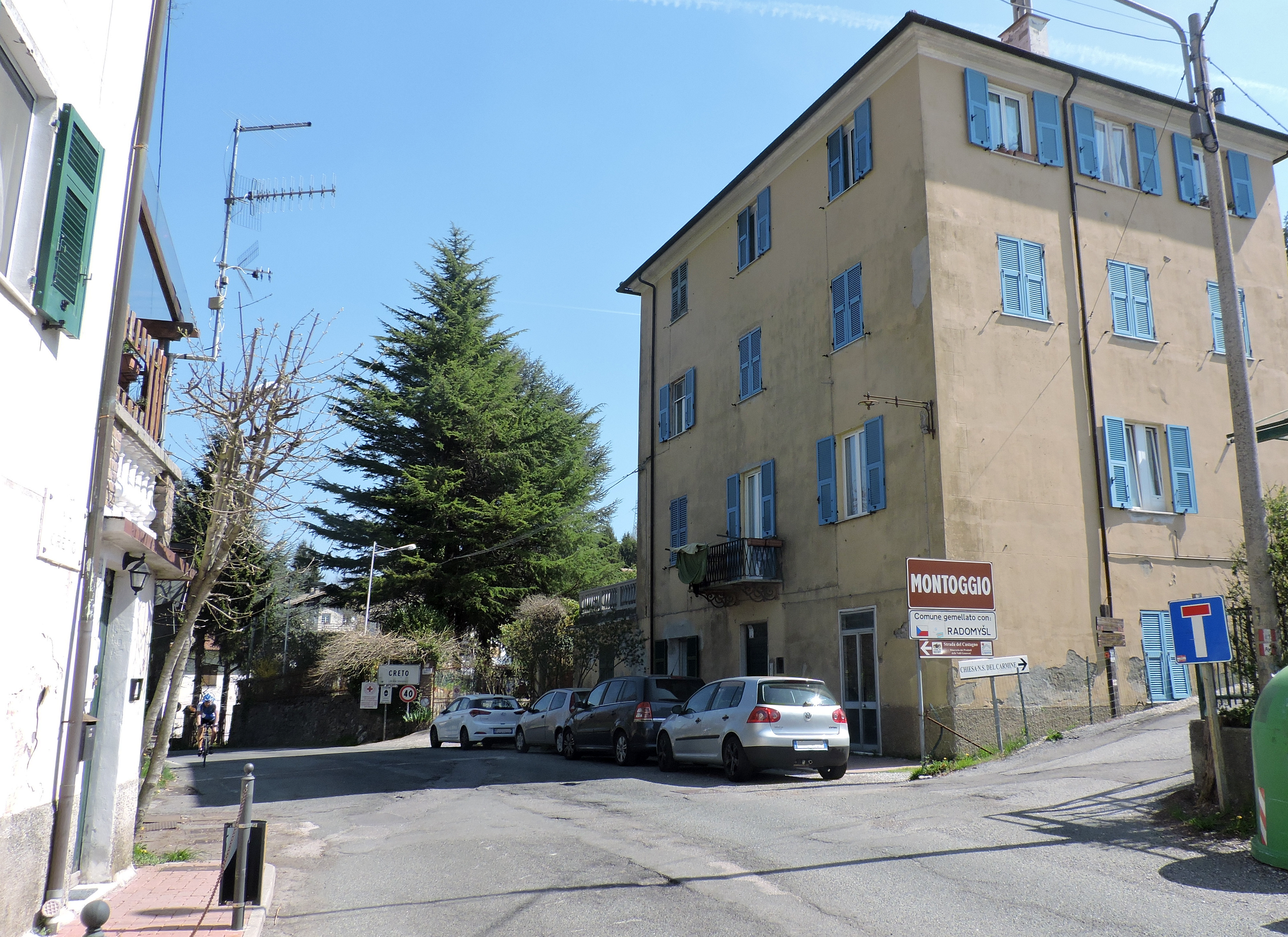
With this moderately long stage and very slight elevation change, predominantly downhill, the Sentiero Italia approaches the urban area of Genoa. Starting from Scoffera, the route follows the watershed that separates the Scrivia valley from the Bisagno basin, one of the streams that flows through the capital of Liguria. Along this trail, it reaches back up to 1000 meters in altitude at the summit of Monte Carmo before continuing with some ups and downs, mainly descending, until the Gola di Sisa pass and beyond to Colle di Creto.