SI C05
Hiking
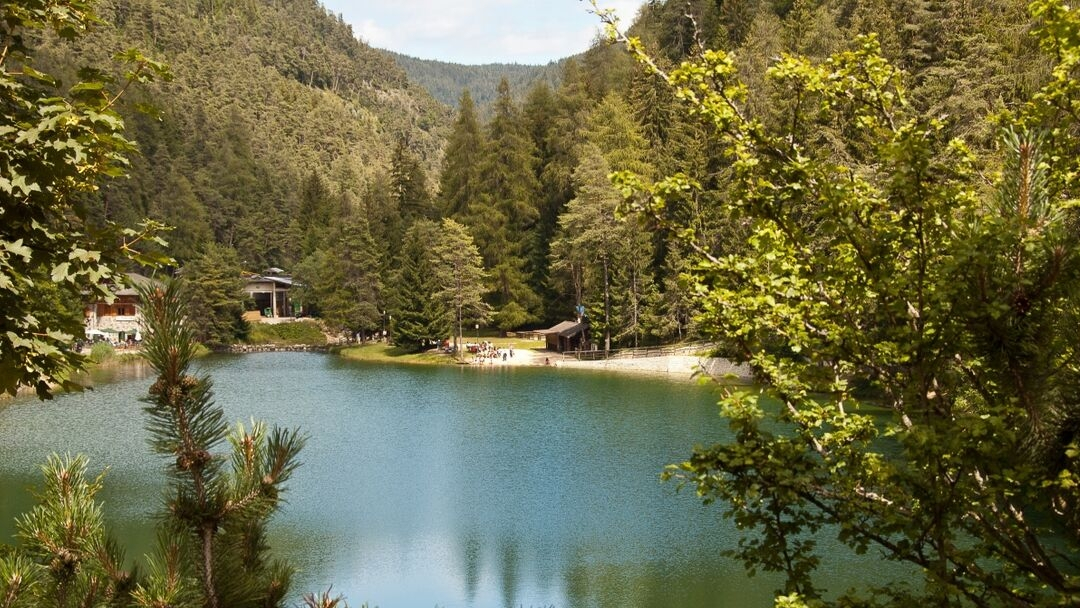
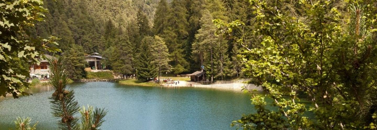
From Mocenigo, reach the upper hamlet of Lanza (1108 m), which overlooks the Rumo territory, and then proceed to Maso Stasal (1290 m). Here, continue through the woods along a forest road leading to Passo Fresna (1456 m). Crossing a typically South Tyrolean landscape, you arrive at the village of Proves (1422 m), with its characteristic church and adjacent square. Following route 3, alternating between stretches on road and trail, you pass by the farms of Matzlaun and enter the provincial road that connects the South Tyrolean enclave to Val d’Ultimo. Resuming trail 3, you ascend to Malga Lauregno (1780 m), a splendid viewpoint and refreshment spot. After crossing the ridge of Monte Sous, you descend through a wooded valley until reaching the basin of Prieda dal Ghial (1698 m), where you encounter a dirt road that leads to the locality of Regola, home to the Arnica restaurant (1246 m). From Regola, a long stretch on asphalt road leads to the village of Castelfondo, known for its castle (not open to visitors) and the Ponte Alto (819 m), which overlooks the narrow and deep gorge of the Rio Novella. Continuing along the signpost 522, you ascend a small road that cuts through the bends of the state road, reaching the village of Fondo (987 m), characterized by its beautiful historic center. Alternatively, you can reach Fondo via a more interesting detour: the equipped Mondino trail (signpost 522). This route, starting from the hamlet of Dovena (just above Castelfondo), allows for a visit to the gorge of the Torrente Novella and arrives at the village by passing Lake Smeraldo and its scenic path. This variant takes about an hour longer. Note: In the section between Trentino and South Tyrol, the signage may be less evident at some points.