SI C10S
Hiking
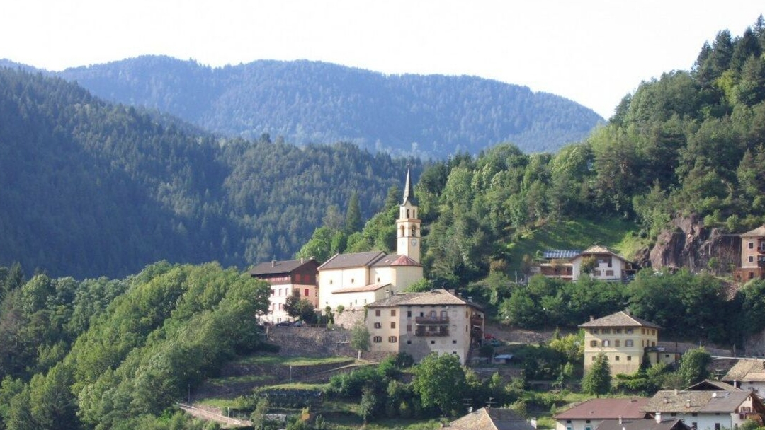
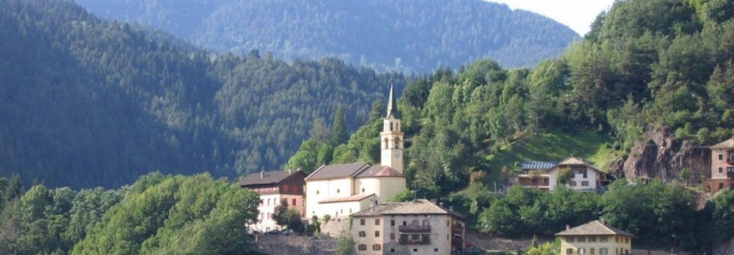
The first part of the stage follows trail 480, which starts from the refuge, crosses the Potzmauer Pass (1350 m), and descends through a wooded valley down to the upper Masi of Grumes (1060 m), in the high Val di Cembra. Near the Casel dei Masi, the route of the "Botanical Trail" is taken, which crosses the forest of Monte di Grumés and leads to the village of Gràuno; crossing the Rio dei Molini, part of the "Path of Old Trades" is also traversed, an interesting ethnographic itinerary where forges, mills, sawmills, and workshops have been restored. From the church located in the upper part of the characteristic village of Gràuno (986 m), the steep cobbled path (trail 481) is followed, which runs through the Scots pine forest and passes by Fratta dal Monél, a panoramic point with an extraordinary view of Valfloriana and Lagorai on one side and Capriana, Anterivo, the Latemar, and the Pale di S. Martino on the other. After passing the Fontana d’Ao forest hut (1293 m), the route continues near the viewpoint of Grava Longa and reaches the junction of Liòn, from which one descends along a forest road towards the terraced meadows with a view of Capriana. From the village of Capriana (1008 m), situated on a sunny wide alluvial plain, already part of Val di Fiemme, the road is followed to the hamlet of Carbonare (1005 m) and continues at the edge of the cultivated meadows of Anterivo-Altrei, a small South Tyrolean village overlooking the valley. After passing the Maso Trenta-Wasserlehof (1140 m), one gradually descends along a forest road to Molina di Fiemme. Stage 10 develops along signposts 480, Botanical Trail, 481, 11, 10, and 8. Note: the Alto Adige variant of the Sentiero Italia begins at the Rifugio Potzmauer.