SI D16S
Hiking
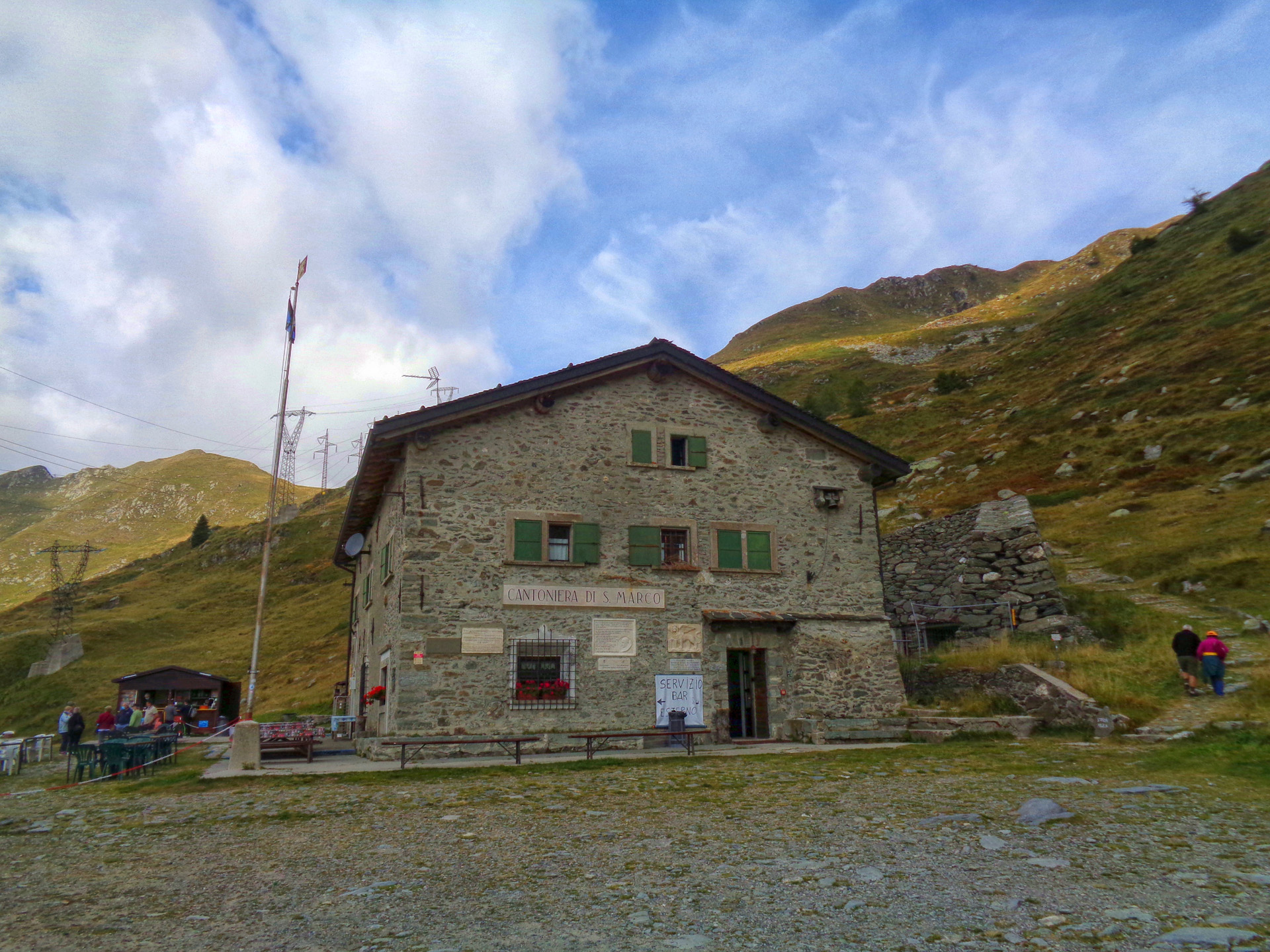
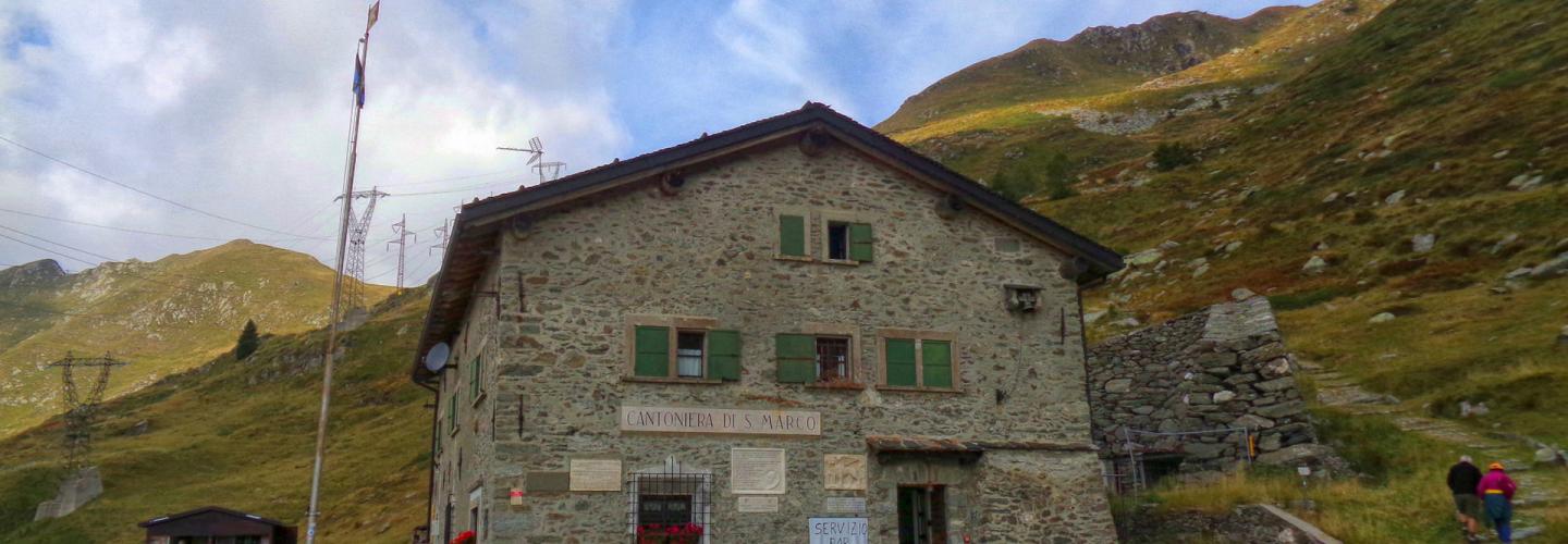
From the Benigni refuge (2222 m), descend to the underlying grassy hollow and the steep rocky channel that must be traversed with caution, especially in humid weather or after sudden thunderstorms or snowfall. Upon reaching the base, continue along a contour path, quickly arriving at the Salmurano Pass (2017 m), from where the artificial lake of Pescegallo is clearly visible. Proceed along the ridge until you reach a plateau where you turn right, continuing on a contour path to the vicinity of M. Avaro, where you intersect trail 109. Continuing on, you reach a notch; after passing to the opposite side, you descend a valley, turn left, and cross the eastern slopes of M. Ponteranica, finally arriving at the Acqua Nera plateau (1750 m). With one last gentle climb, you soon reach the Ca' San Marco refuge (1829 m). This place has always been used as a commercial crossing between the Republic of Venice and the states beyond the Alps, and it is a transit point of the famous Priula road, constructed between 1592 and 1593 under the command of Alvise Priuli, the podestà of Bergamo. The Priula road used the nearby San Marco Pass to travel from the Brembana Valley to Valtellina, connecting Bergamo with Morbegno (SO). From the refuge (1829 m), ascend to the San Marco Pass (1992 m) via the ancient mule path (the historic Via Priula), then descend into Valtellina along the carriage road leading to Morbegno for about 150 m. Now, you must follow the path that branches off to the right, crossing the northern slope of Pizzo delle Segade, eventually reaching a short ridge soon interrupted by a narrow notch (Bocchetta d'Orta). From this point, the trail leaves the ridge (which would continue up to the summit of M. Azzarini) to descend a short grassy gully, returning to the Bergamasque side. The path, with some ups and downs, passes the Colomber hut and crosses the grassy hollow until reaching the Porta Pass (2023 m), from where you continue on a flat path to the Marco and Raimondo Balicco Refuge (1963 m). This stage closely follows the Western Orobie Trail.