SI D17S
Hiking
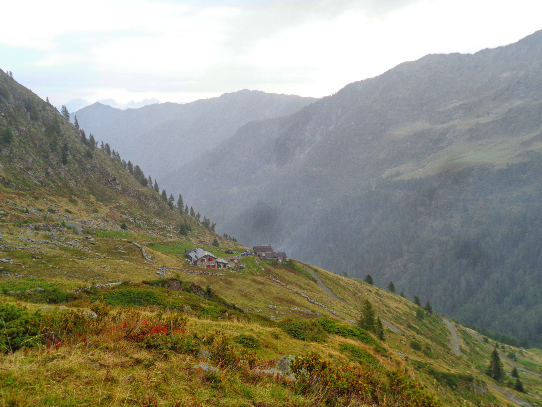
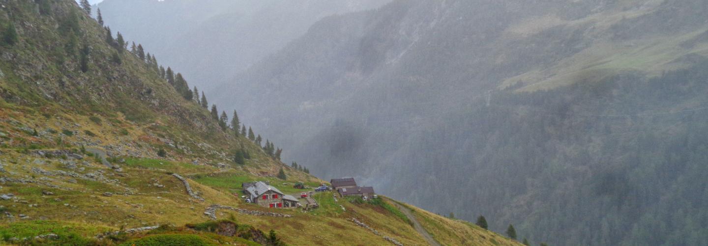
From the Marco e Raimondo Balicco Refuge, the trail ascends to cross the ridge of M. Azzaredo, descending on the other side to the Piedevalle hut (1944 m). Continuing along a contour trail, you will arrive at the small lake of Cavizzola (trail 111), then to the Siltri cottage (1973 m), and with a short ascent, to Forcella Rossa (2055 m). The route continues with a steady incline through the basin below the Lemma pass (accessible via trail 116) until reaching the Fontanini hut. The path traverses the southern slope of Cima di Lemma without significant elevation changes, passing through wooded and pastoral areas. Important remnants of ancient pastoral activities are the stone enclosures called bàrech used to contain livestock, which can be seen upon entering the valley leading to the Tartano Pass (2102 m), now reachable with few turns. Along the pass, one can observe the remains of the Cadorna Line, a defensive structure from World War I, designed to block a potential Austrian advance through neutral Switzerland, and never used for military purposes. The panorama offers a detailed view of the Retic Alps, from M. Disgrazia to Val Masino, including the peaks of Val Chiavenna and Spluga. Close by and readily visible are the Porcile lakes, located on the Valtellina side. From the Tartano Pass (2102 m), reachable from San Simone via trail 101, turn right along the watershed, following it for a short distance before descending towards the Lunga valley (Valtellina). As the trail bends left, it climbs to the highest of the three Porcile lakes, skirts the northern shore, and, aiming southeast, heads toward the Porcile Pass (2284 m). Before reaching the pass, trail 201A branches off, leading to the Dordona refuge (a variant of the Western Orobie Trail) through the Bocchetta dei Lupi (2316 m) and a dirt road. This stage closely follows the Western Orobie Trail.