SI D20S
Hiking
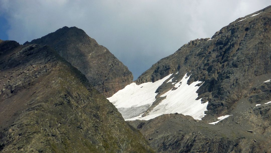
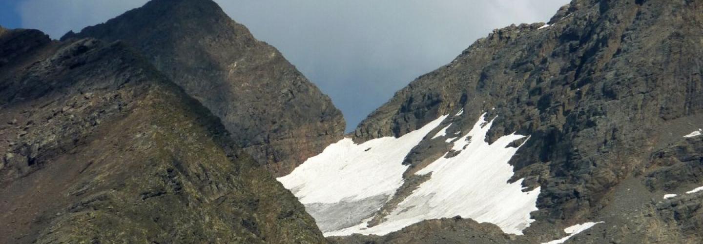
From the Brunone hut (2295 m), the route heads east on a fairly level path, first leaving the 330 trail (lower variant of the Orobie trail) on the right and shortly after, the 252 trail (towards Pizzo Redorta) on the left. It’s time to start climbing towards the walls of Pizzo Redorta, a side that looks inaccessible from this perspective. With a steep, winding ascent, we navigate up through the scree and cross high on the right along a rocky ledge until we pass a gentle pass that leads into the high circus of the vedretta dei Secreti. We cross it to ascend to the saddle of the Secreti and then descend to the opposite side. After a flat stretch (with trail 334 descending on the right), we climb again to a pass called "Ol Simàl" (2712 m), the highest point of the entire Orobie Trail and the Italian Trail (southern ridge). We then descend a steep, crumbly channel to cross the head of the val di Foga, continuing east until we reach the notch of Forcellino. Next, we descend through a rocky channel and then down a difficult slope of gravel and grass. With a series of ups and downs and some equipped sections, we emerge high above the basin of Lake Coca. We descend to the lake (2108 m) and shortly after, following the valley, reach the Coca hut (1892 m). This stage faithfully follows the western Orobie Trail.