SI D29S
Hiking
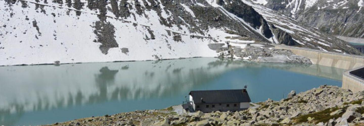
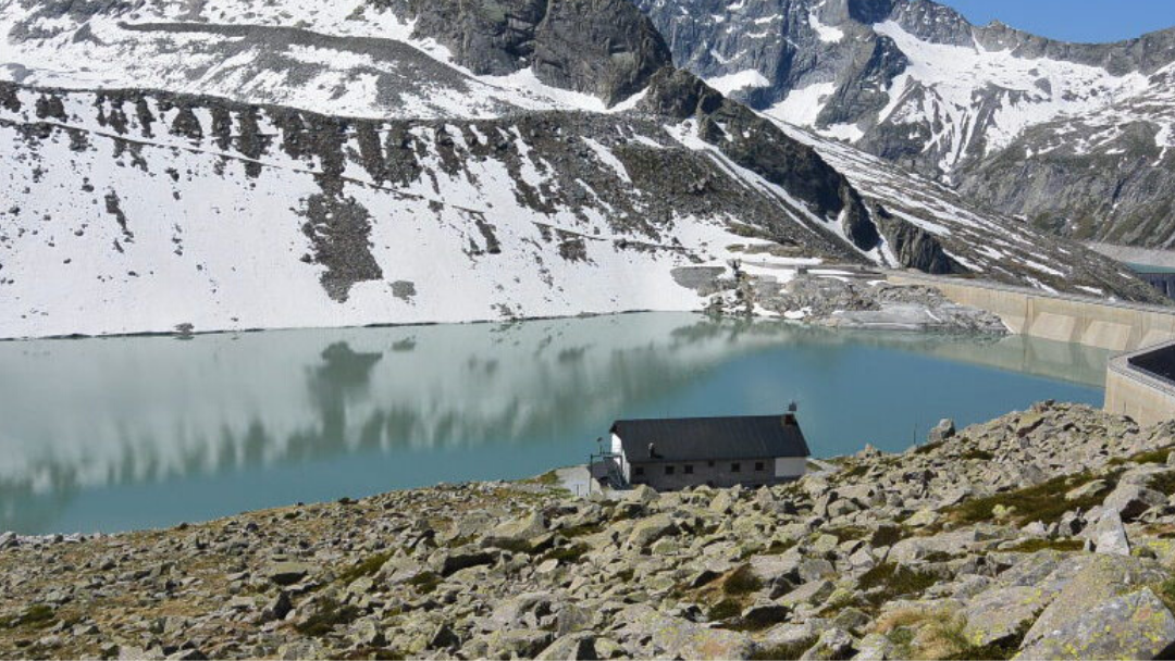
You ascend a large slope until you reach the Bocchetta di Premassone (2,847 m, the highest point of the Alta Via dell’Adamello, offering an extraordinary view of the north and west faces of Adamello) passing by the lake of the same name. You then descend a rocky wall to the head of the Valle dell’Avio (this is the most exposed section of the route, but it is equipped with cables) down to the underlying dam of the Pantano dell’Avio. From here, with a deviation from the official path, you can reach the Garibaldi refuge by crossing the dam. The Sentiero Italia, instead, descends to the left on marked trails and lowers to the malga Lavedole to connect with the path to Temù. Just past the malga, after crossing the stream, you join trail marker no. 611 (formerly 11), which runs alongside the three artificial lakes of Avio on the left. From the Palazzina, the road you follow, which is partly paved and partly dirt, makes several winding turns before developing into a more linear path with a gentler slope. After completely descending the Valle dell’Avio, you cross the Oglio River at the valley floor and ascend briefly to reach the center of Temù.
-thumbnail_1440_500.jpg)