SI F04
Hiking
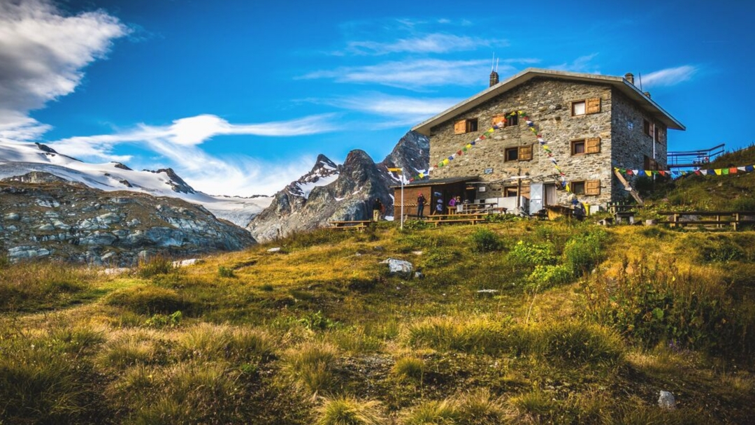
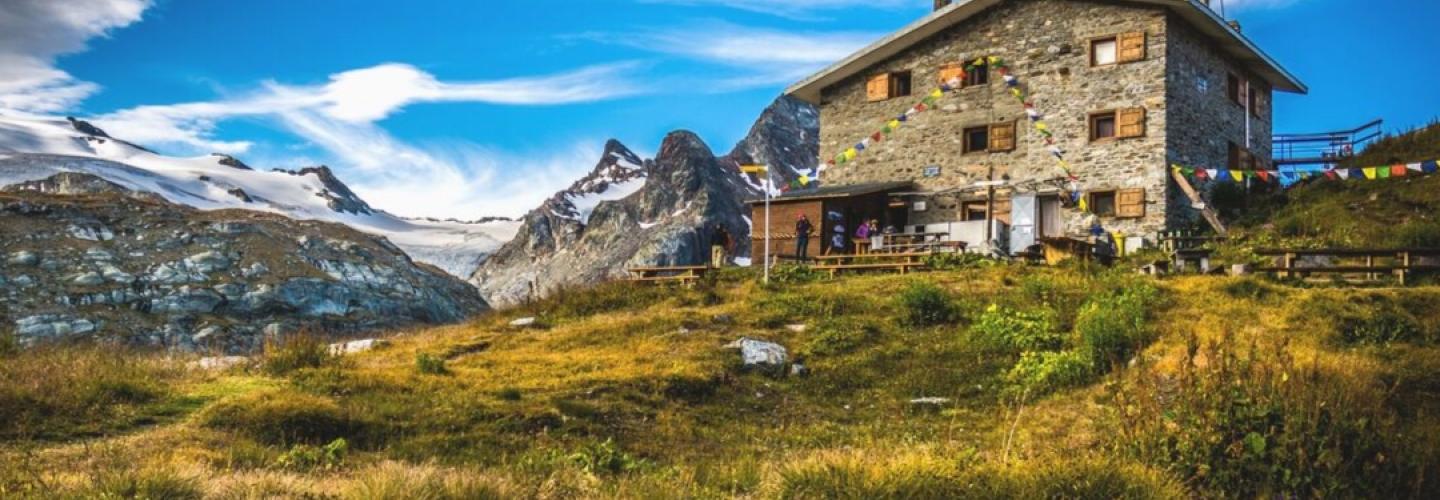
This is an intermediate-length stage with significant elevation gain that circumnavigates the Rutor massif, reaching its northern slope. Starting from Planaval, the route leads through the village of La Clusaz before heading towards Laco du Fond, which is dominated by the Col de la Crosatie at 2826 meters above sea level. After reaching the pass, a steep descent takes you down to the wild valley formed by the Lenteney stream, which you cross near the village of Promoud. From there, you ascend the opposite slope of the valley until reaching Passo Alto at an altitude of 2860 meters. From this point, a descent along a stony valley leads to the Deffeyes Refuge.