SI F06
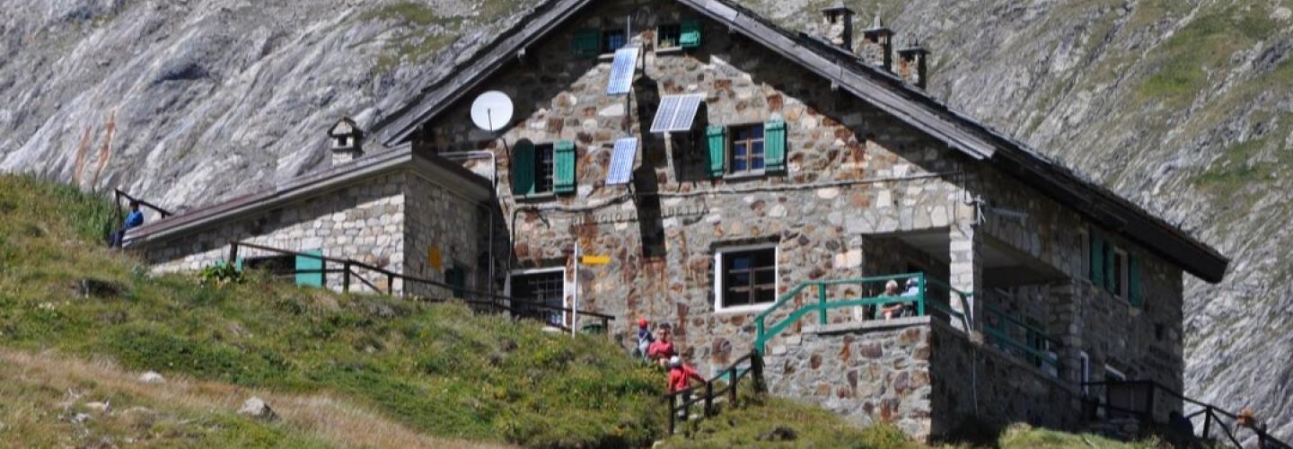
Hiking
A medium-length stage with significant elevation gain leads to the basin of Mont Blanc, at the head of Val Veny. From the village of La Thuile, the route heads towards the Colle del Piccolo San Bernardo, walking parallel to the road and cutting through its hairpin turns. Just before the bridge crossing the Dora di Verney, the dirt road is taken to the right, entering the hillside of the valley through a series of hamlets until the road becomes a path that follows the course of the Chavannes stream. At Alpe Chavanne Inferiore, the ascent begins in earnest towards Alpe Chavanne Superiore, culminating at the Colle des Chavannes at an elevation of 2592 meters, with views of Mont Percé. This is followed by a steep descent with views of the Pyramides Calcaires, leading down to the stream which is followed to the refuge.
