SI F13
Hiking
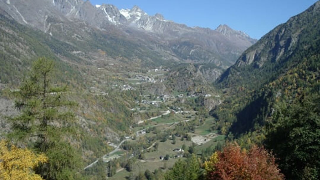
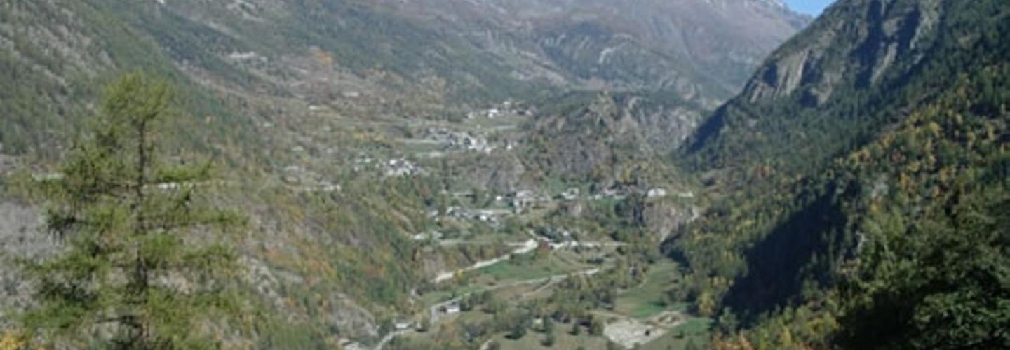
On this moderately long stage with significant elevation gain, the Sentiero Italia crosses the Valpelline at Oyace, the last inhabited center before a series of stages that will remain at high altitude. From Rey, the steep valley is taken heading north, with a path winding up through narrow bends in the forest, climbing to Alpe della Beria Superiore. From here, the trail follows a contour line across the western slope of Monte Berrio before another steep, winding section leads to Col de Brison at 2480 meters above sea level. The descent begins gently, traversing the slope past Alpe Bruson until reaching the village of Sucheaz, then becomes steeper through the forest until Oyace.