SI F14
Hiking
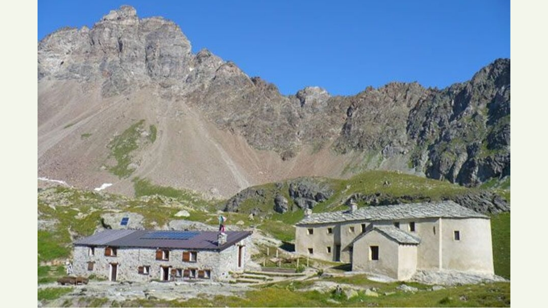
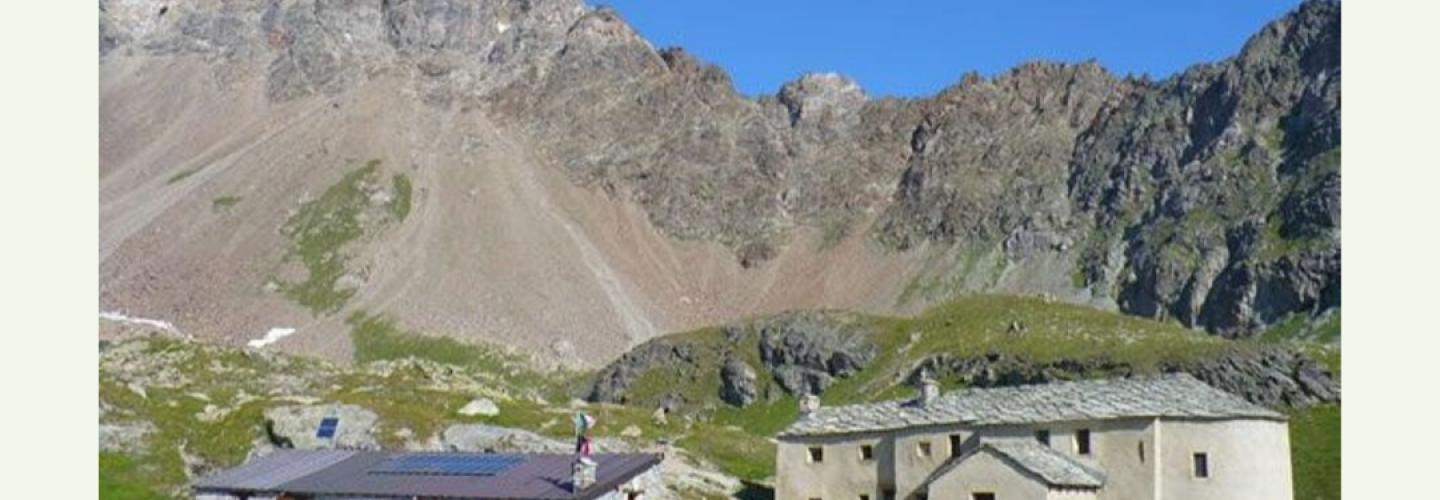
A medium-length stage but with a very high elevation gain to reach the high slopes of the Valle di Saint Barthelemy. From Oyace, a brief descent leads to the banks of the Buthier stream, which is crossed to start a long and challenging climb along the Vallone del Torrente Vessona. The route follows the course of the water, passing through the basin of Arnoud, near the village of Vielle, until the huts of Ardemoun. Here, the open and steep slopes leading to the Col de Vessonaz at 2794 meters are tackled. This is followed by a contour section until reaching the Col de Chaleby at 2653 meters before a long stretch of ups and downs that neither gains nor loses altitude, leading to the Rifugio Cuney.