SI G08
Hiking
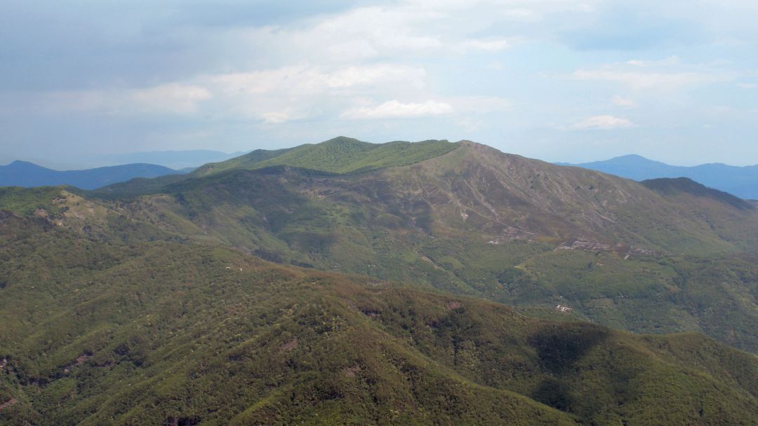
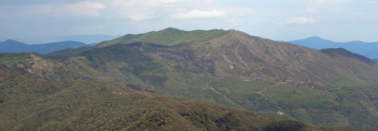
With this short stage and modest elevation gain, the Sentiero Italia continues further west, leaving the boundaries of the Aveto Regional Natural Park. From Passo della Forcella, the route initially follows a dirt road before entering a path that climbs to Passo della Crocetta at 927 meters above sea level. A section of ascent begins, leading to Monte Ramaceto at 1345 meters, along the ridge overlooking the valley formed by the Torrente Lavagna. The stage concludes with a descent to Passo di Ventarola Sud at an altitude of 1050 meters.