SI G16
Hiking
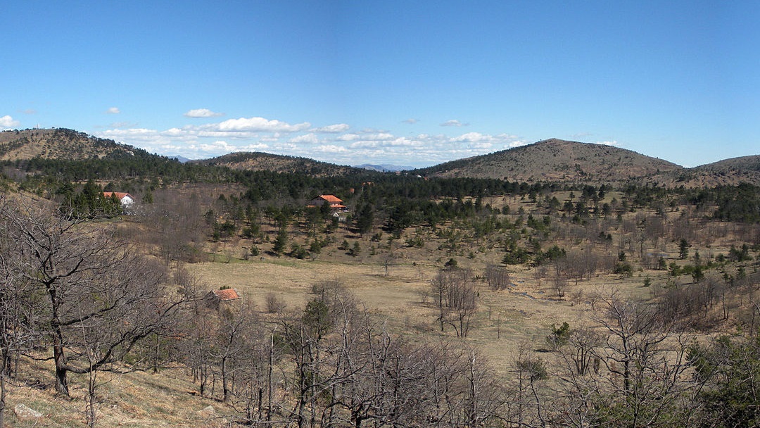
A medium-length stage with a slight elevation gain that travels through the heights above Genoa along the border with Piedmont and the Capanne di Marcarolo Natural Park. From the Passo della Bocchetta, the route heads westward uphill, passing near Monte Leco and then climbing until reaching an altitude of 1,000 meters above sea level towards Monte Taccone, whose summit is circumnavigated. The descent continues towards the Gorzente Lakes Natural Observatory, which is not reached, continuing south until Prato del Gatto. From here, a short stretch of accessible road leads to Colla di Praglia.