SI G17
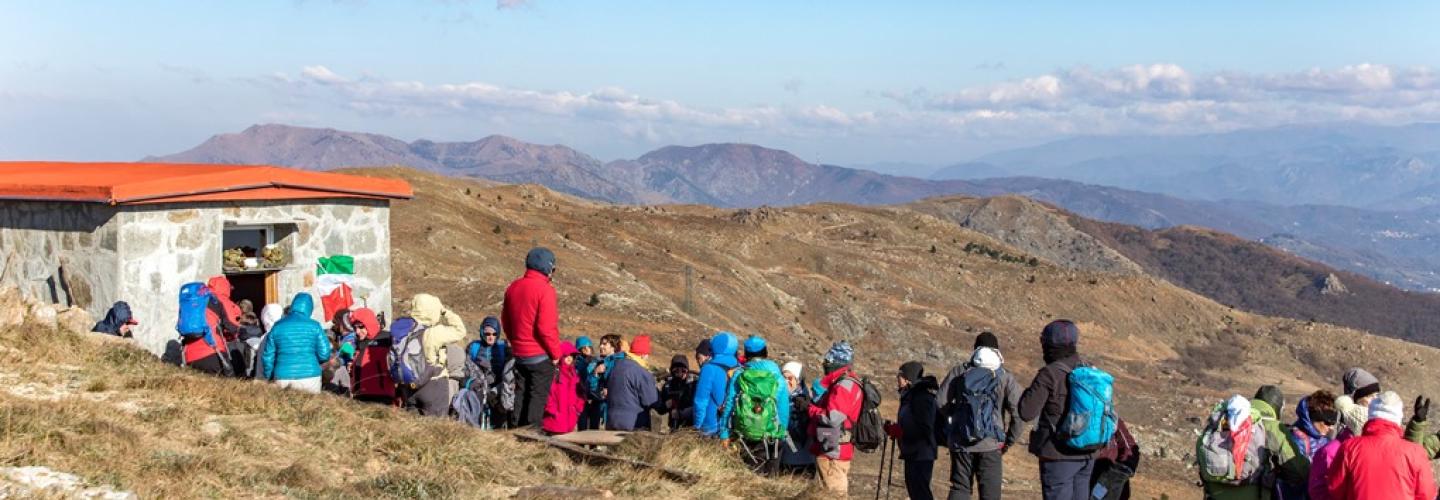
Hiking
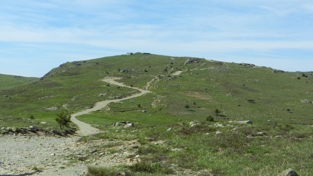
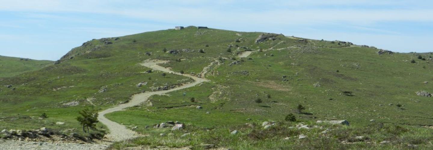
On this medium-length stage with a mostly downhill elevation change, the Sentiero Italia leaves the long semicircle around the city of Genoa to head decisively west. From the Piani di Praglia, it traverses a plateau between Monte Sejeu, Monte Proratado, and Bric dell’Orologio, reaching near Monte Foscallo at an altitude of 988 meters above sea level. After crossing Colle Gandolfi, the route heads towards Passo del Veleno, from where it descends to Passo del Turchino, an important pass that connects the coast west of Genoa with Piedmont.