SI G22
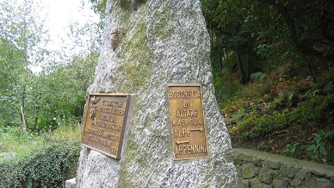
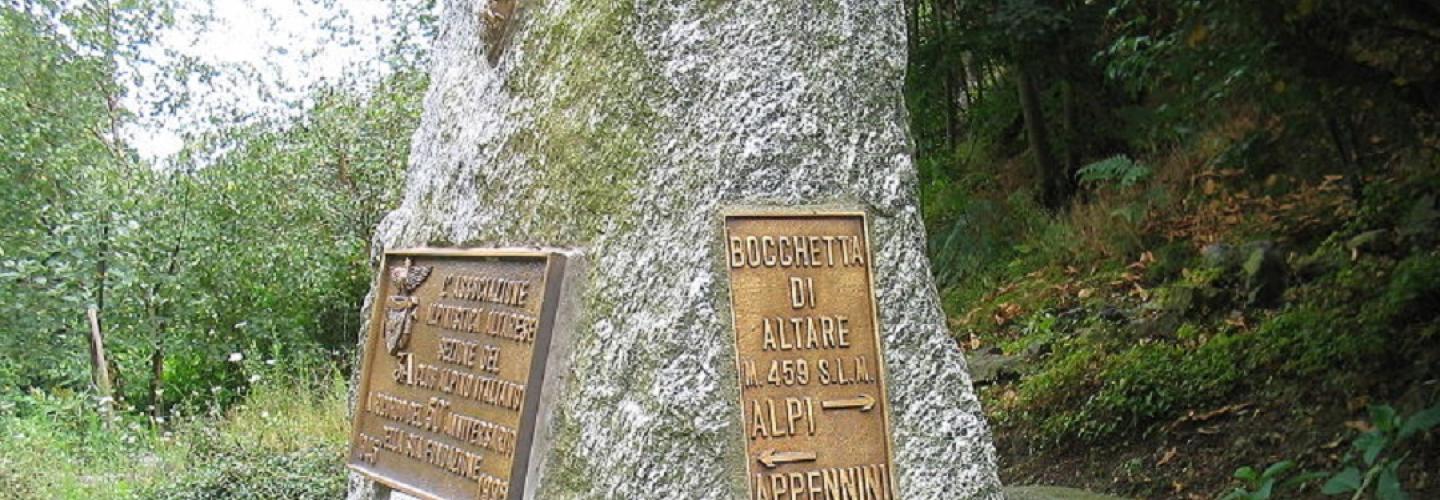
Hiking
The final Apennine stage of the Sentiero Italia is long but features a low elevation change. From Meugge, the path leads to the Rifugio Cascina Miera and then proceeds through dense woods towards the Rocca dell’Adelasia and Bric Psigni. Descending along the Rio Ferranietta, you reach the village of Ferrania where you cross the railway and then pass under the Savona – San Giuseppe cable car, inaugurated in 1912 and still operational today for transporting coal from the Port of Savona to the sorting area located in San Giuseppe di Cairo. After that, you reach the Colle di Cadibona at an altitude of 459 meters. This is the point where the conventionally accepted boundary between the Alps and the Apennines is located.