SI G34
Hiking
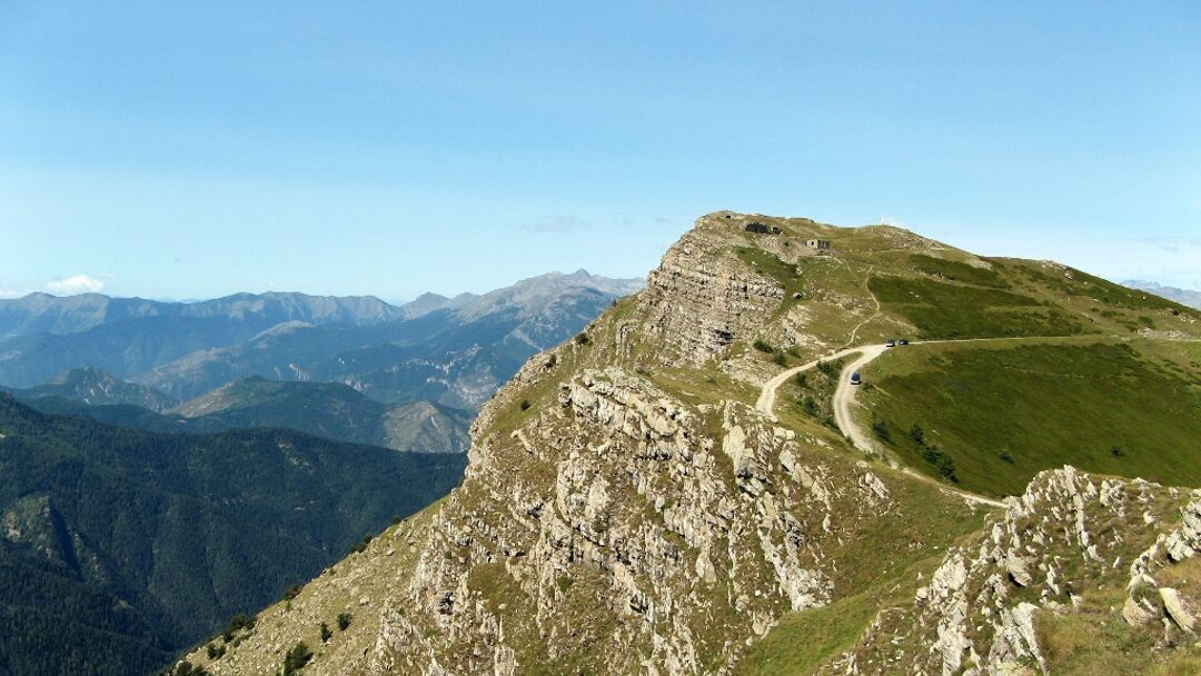
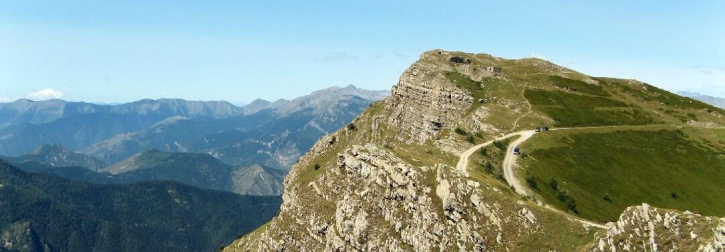
On this long stage with significant elevation gain, especially downhill, the Sentiero Italia leaves Liguria to connect with the Piedmont route. From the Rifugio Sanremo, the path ascends along the ridge to the summit of Monte Saccarello, the highest peak in Liguria, and then heads north along the broad watershed that marks the state border with France, separating the Val Tanaro from the Val Roja. The route ascends to the altitude of 2356 meters at Monte Missun before descending to Colla Rossa at 2178 meters. At this point, the ridge is abandoned, and a steep descent through the magnificent Navette forest leads to the village of Upega. An additional ascent takes you to Passo del Lagarè at 1746 meters, and the subsequent descent reaches the village of Carnino. The final climb of the day leads to the Tetti delle Donzelle, near which the Rifugio Ciarlo Bossi is located for overnight accommodations.