SI L21
Hiking
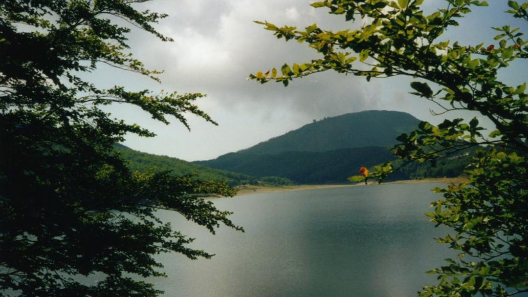
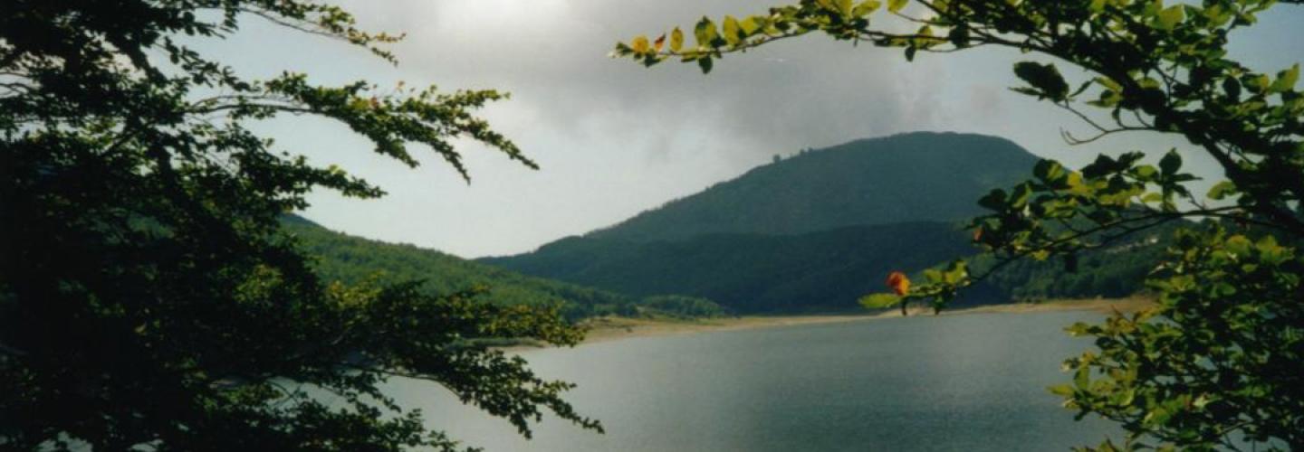
Leaving the comfortable Rifugio Sarzana overlooking the small but enchanting lake of Monte Acuto, we descend along trail 659, always surrounded by beech forests and clearings often covered with blueberry bushes. After about 400 meters of easy descent, with some steeper sections, we arrive at the earth dam on Lake Paduli at the Passo di Lagastrello, waving goodbye to the Reggiano Apennines as we enter Tuscany at the borders of three provinces: Reggio Emilia, Parma, and Massa Carrara. Crossing the bridge overlooking the gorge of the Enza stream, we enter Parmense territory on the Massese road, which we quickly abandon, heading south, taking the uphill path 703C. Upon reaching Lago Squincio, we circle it to the north, taking trail 703 (which we will not leave again) that, zigzagging uphill through mixed beech forest between coppice and high stem trees, follows an ancient mule track used by charcoal burners and leads us to Passo Sasseda. From the pass, we leave the 00 trail that rises towards the main ridge and continue on 703, still through high-stem beech forest, first reaching Lago Scuro (home to the alpine newt, where striking remnants of mighty white firs, ancient colonizers of these mountain basins, can be admired along its shores, following the last glaciation) and, shortly after, Lago Verdarolo, which at the beginning of the 1900s (like the previous Lagastrello and Squincio) was harnessed for electricity production. Continuing north along the evident glacial moraine that delineates it, we stay on 703 heading west; we pass La Scaliccia where it intersects with trail 703B leading to Lago Palo (also of glacial origin and used for hydroelectric purposes), and following the clear path, we come to a sharp and sudden left turn that, when followed, quickly leads us to the locality of Prato Spilla where this stage ends.