
SI O02
Hiking
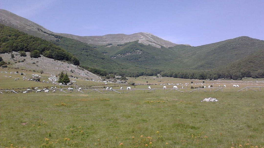
Stage O02 of the Sentiero Italia begins near the center of Sora, at the Convento dei Padri Passionisti, at an elevation of 288 m, and reaches the location Prato di Campoli in the municipality of Veroli, at an elevation of 1100 m. The CAI 621 Trail also runs along this path. It covers approximately 4 km of paved road, until reaching the shrine of Madonna della Figura, at an elevation of 402 m. Difficulty Level: T, paved road. From the shrine, the route continues on a dirt road towards Pozzo Faito. There is a short steep section where the only water spring on the entire route, Fontana Orlando, is located. Difficulty Level: E, a mix of dirt and paved surfaces. Upon reaching the area known as "Antenne," where transmission antennas are situated, the path continues along a dirt road that runs alongside the Vallone delle Noci, then veers left for another 3 km before leaving the dirt road to take the trail at Santa Maria. Difficulty Level: E. Dirt road with potential muddy crossings due to rain. The trail alternates between woods and flat meadows, encountering characteristic stone pastoral huts. Leaving the huts behind, the trail delves into a dense beech forest to reach Pozzo Faito, at an elevation of 1236 m, an ancient border point between the Papal States and the Kingdom of Naples, where we find boundary markers No. 179 and 180, guarding 2000 years of history with an inscription carved in stone dating back to 4 BC. Difficulty Level: E. The trail is navigable and does not present particular technical difficulties, with a high likelihood of muddy sections due to rain, as about 600 meters of the segment follow the natural path of the valley. Approximately 300 meters from Pozzo Faito is Rifugio Faito, usually closed but with a covered external area and a fireplace. From the well, the route heads towards Fossa dell'Ortica, a challenging section with about 420 meters of elevation gain needed to ascend and change the slope of the mountain to an elevation of 1650 m. Difficulty Level: E, navigable trail with significant elevation change. Upon reaching a clearing at an elevation of 1623 m, about 50 meters from Fossa dell’Ortica, at an elevation of 1610 m, a steep descent leads to Prato di Campoli, at an elevation of 1100 m, in the municipality of Veroli, marking the end of stage O02. Difficulty Level: E. The trail is navigable, and the rapid reduction in elevation can be challenging depending on the season due to an accumulation of leaves on the ground or snow.

-thumbnail_1440_500.jpg)