SI O08
Hiking
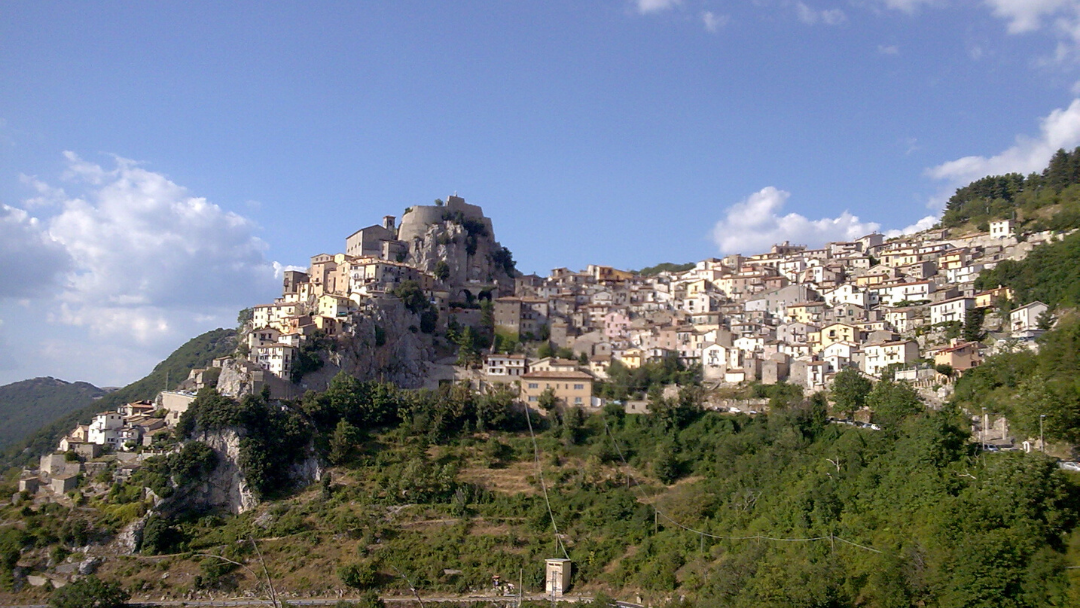
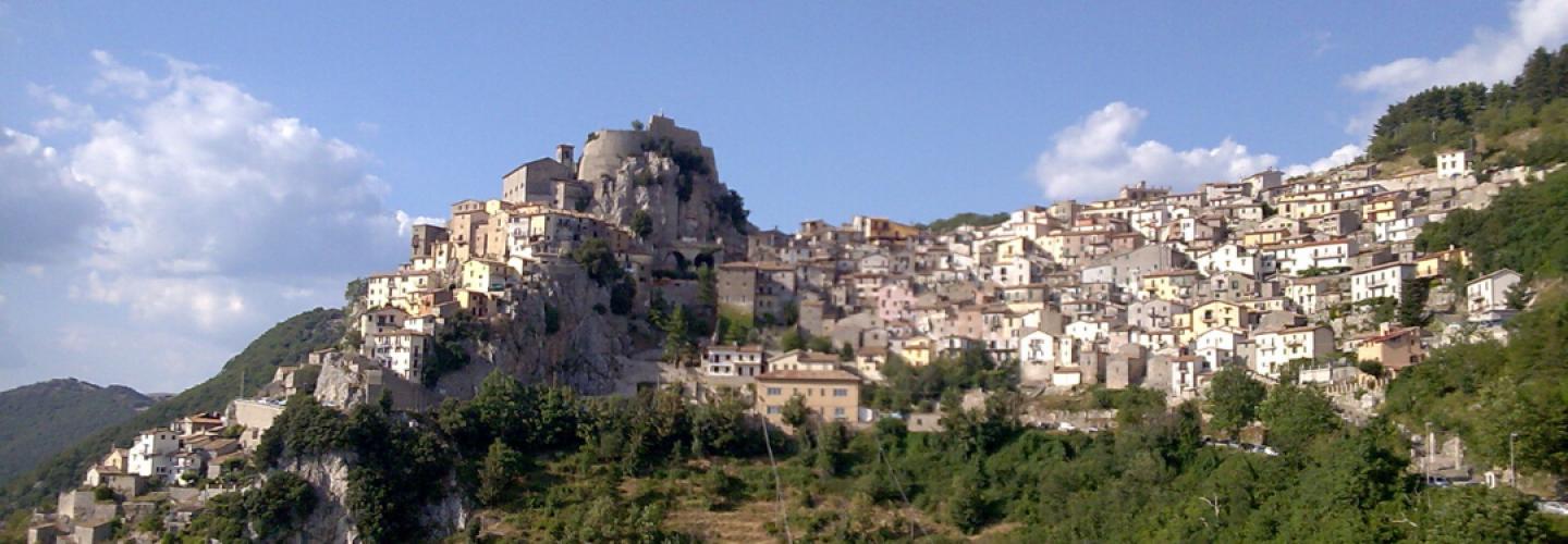
Final stage within the Simbruini Mountains Regional Park, starting from Livata and reaching the village of Cervara di Roma with a series of ups and downs, always above 1000 meters in altitude. From near the small church in the residential area of Monte Livata at 1326 m, take the road to the right that gently descends northwards into the basin where the Fosso dei Canali originates, initially bordering a reforested area. Arriving at a fork, bend sharply to the right southeast, which after reaching Pozzo di Monte Calvo at 1382 m, climbs the steep wooded slopes of the mountain to a small saddle at 1510 m. From there, turn sharply left and via the North Ridge, you'll quickly reach the summit of Monte Calvo at 1591 m. From the peak of Monte Calvo, descend towards the Piana di Campaegli without reaching it, but instead arriving at Sella Campaegli at 1410 m. Here, a wooded section continues along the ridge reaching the small summit of I Coppi at 1441 m, from where through a small valley, after a short ascent, you reach the western edge of the buildings in Campaegli. Leave the unpaved road by turning to the left west and continue along a long, rough dirt path that borders the Costa Collalto until it eventually reaches the road leading to Cervara di Roma near the cemetery. From here, follow the road to Campaegli until the first bend to the right at around 1120 m. Continue on the mule track, heading north and passing high above the Fosso di Vorracchio, arriving almost level at Ponte Prataglia at 1120 m, which you cross. From here, the mule track heads north, gently ascending among rounded hills, opening onto the edge of the wide plateau of Prataglia until reaching the Rifugio Locanda dell'Orso, identified as a stopping point.