SI P10
Hiking
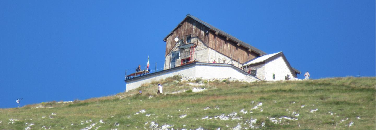
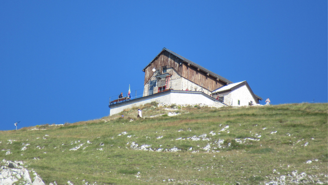
Another rather long stage with a significant elevation gain, exclusively uphill, that reaches the heart of the Gran Sasso National Park, beneath the summit of the highest mountain in the Apennines. Starting from the village of Santo Stefano di Sessanio, we head north, weaving between the peaks of Monte Cappellone, Monte Tre Colli, and Monte Cecco d’Antonio before turning west past the northern side of Monte Mesola's summit. Here, we overlook the Campo Imperatore plain but continue along a small valley leading to the Strada Statale 17 bis at the foot of Monte Cristo. We then ascend along the slopes of Monte Scindarella, from which we reach Campo Imperatore and the Rifugio Duca degli Abruzzi shortly thereafter.
-thumbnail_1440_500.jpg)
-thumbnail_1440_500.jpg)
-thumbnail_1440_500.jpg)